Open popup
x
Choose Which Site You Want To See
Search
A
B
C
D
E
F
G
H
I
J
K
L
M
N
O
P
Q
R
S
T
U
V
W
X
Y
Z
0-9
Browse by Store
1
2
3
4
5
Next
List view
Grid view
Compact
Ordnance Survey Survey Exmoor Ma...
Click For Info
Ordnance Survey Survey Brecon Be...
Click For Info
Ordnance Survey Survey Brecon Be...
Click For Info
Ordnance Survey Survey Brecon Be...
Click For Info
Ordnance Survey Survey Brecon Be...
Click For Info
Ordnance Survey Survey Harlech, ...
Click For Info
Ordnance Survey Survey Yorkshire...
Click For Info
Ordnance Survey Survey Glen Coe ...
Click For Info
Ordnance Survey Survey Harlech, ...
Click For Info
Ordnance Survey Survey Yorkshire...
Click For Info
Ordnance Survey Survey Glen Coe ...
Click For Info
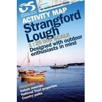
Ordnance Survey Strangford Lamin...
Click For Info
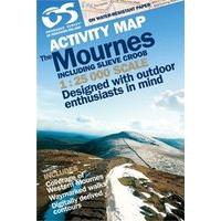
Ordnance Survey Laminated Mourne...
Click For Info
Ordnance Survey Explorer Active ...
Click For Info
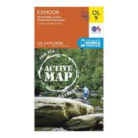
Ordnance Survey Explorer Active ...
Click For Info
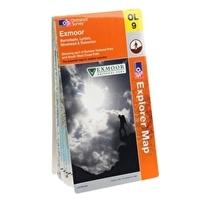
Ordnance Survey Explorer OL 9 Ex...
Click For Info
Ordnance Survey Explorer OL 9 Ex...
Click For Info
Explorer Exmoor Map
Click For Info
Explorer Active OL 9 Exmoor Map
Click For Info
Explorer OL 9 Exmoor Map
Click For Info
Ordnance Survey Explorer 208 Bed...
Click For Info
Ordnance Survey Explorer 342 Gla...
Click For Info
Ordnance Survey Explorer 208 Bed...
Click For Info
Ordnance Survey Explorer 272 Lin...
Click For Info
Ordnance Survey Explorer 235 Wis...
Click For Info
Ordnance Survey Explorer 227 Pet...
Click For Info
Ordnance Survey Explorer Active ...
Click For Info
Ordnance Survey Explorer Active ...
Click For Info
Ordnance Survey Explorer 235 Wis...
Click For Info
Ordnance Survey Explorer 227 Pet...
Click For Info
Ordnance Survey Explorer 272 Lin...
Click For Info
Ordnance Survey Explorer 232 Nun...
Click For Info
Ordnance Survey Explorer 206 Edg...
Click For Info
Ordnance Survey Explorer OL 38 L...
Click For Info
Ordnance Survey Explorer OL 11 B...
Click For Info
Ordnance Survey Explorer Active ...
Click For Info
Ordnance Survey Explorer OL16 Th...
Click For Info
Ordnance Survey Explorer OL 34 C...
Click For Info
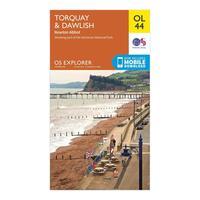
Ordnance Survey OL 44 Torquay & ...
Click For Info
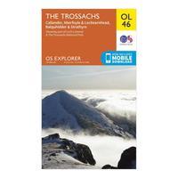
Ordnance Survey Explorer OL 46 T...
Click For Info
1
2
3
4
5
Next
A
B
C
D
E
F
G
H
I
J
K
L
M
N
O
P
Q
R
S
T
U
V
W
X
Y
Z
0-9
Browse by Store
Search