Choose Which Site You Want To See


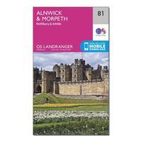
Ordnance Survey Landranger 81 Alnwick & Morpeth, Rothbury & Amble Map With Digital Version, Orange: The OS Landranger Map is the ideal map for planning the perfect day out. This best known national map series provides...
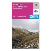
Ordnance Survey Landranger 78 Nithsdale & Annandale, Sanquhar & Moffat Map With Digital Version, Orange: The OS Landranger Map is the ideal map for planning the perfect day out. This best known national map series provides...
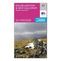
Ordnance Survey Landranger 77 Dalmellington & New Galloway, Galloway Forest Park Map With Digital Version, Orange: The OS Landranger Map is the ideal map for planning the perfect day out. This best known national map series provides...
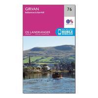
Ordnance Survey Landranger 76 Girvan, Ballantrae & Barrhill Map With Digital Version, Orange: The OS Landranger Map is the ideal map for planning the perfect day out. This best known national map series provides...
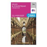
Ordnance Survey Landranger 74 Kelso & Coldstream, Jedburgh & Duns Map With Digital Version, Orange: The OS Landranger Map is the ideal map for planning the perfect day out. This best known national map series provides...
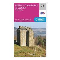
Ordnance Survey Landranger 73 Peebles, Galashiels & Selkirk, Tweed Valley Map With Digital Version, Orange: The OS Landranger Map is the ideal map for planning the perfect day out. This best known national map series provides...
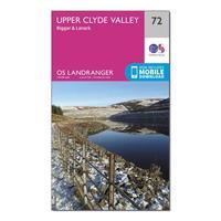
Ordnance Survey Landranger 72 Upper Clyde Valley, Biggar & Lanark Map With Digital Version, Orange: The OS Landranger Map is the ideal map for planning the perfect day out. This best known national map series provides...

Ordnance Survey Landranger 71 Lanark & Upper Nithsdale Map With Digital Version, Orange: The OS Landranger Map is the ideal map for planning the perfect day out. This best known national map series provides...
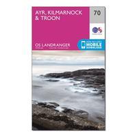
Ordnance Survey Landranger 70 Ayr, Kilmarnock & Troon Map With Digital Version, Orange: The OS Landranger Map is the ideal map for planning the perfect day out. This best known national map series provides...
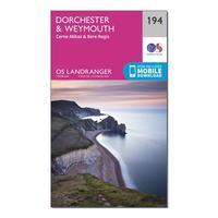
Ordnance Survey Landranger 194 Dorchester & Weymouth, Cerne Abbas & Bere Regis Map With Digital Version, Orange: The OS Landranger Map is the ideal map for planning the perfect day out. This best known national map series provides...
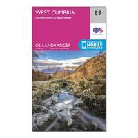
Ordnance Survey Landranger 89 West Cumbria, Cockermouth & Wast Water Map With Digital Version, Orange: The OS Landranger Map is the ideal map for planning the perfect day out. This best known national map series provides...
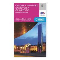
Ordnance Survey Landranger 171 Cardiff & Newport, Pontypool Map With Digital Version, Orange: The OS Landranger Map is the ideal map for planning the perfect day out. This best known national map series provides...
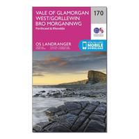
Ordnance Survey Landranger 170 Vale Of Glamorgan, Rhondda & Porthcawl Map With Digital Version, Orange: The OS Landranger Map is the ideal map for planning the perfect day out. This best known national map series provides...
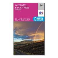
Ordnance Survey Landranger 26 Inverness & Loch Ness, Strathglass Map With Digital Version, Orange: The OS Landranger Map is the ideal map for planning the perfect day out. This best known national map series provides...
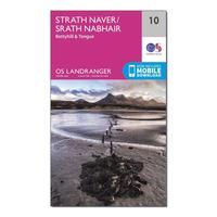
Ordnance Survey Landranger 10 Strathnaver, Bettyhill & Tongue Map With Digital Version, Orange: The OS Landranger Map is the ideal map for planning the perfect day out. This best known national map series provides...
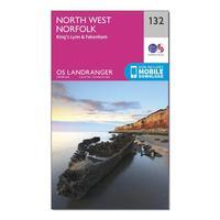
Ordnance Survey Landranger 132 North West Norfolk, King\'s Lynn & Fakenham Map With Digital Version, Orange: The OS Landranger Map is the ideal map for planning the perfect day out. This best known national map series provides...
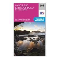
Ordnance Survey Landranger 203 Land\'s End & Isles Of Scilly, St Ives & Lizard Point Map With Digital Version, Orange: The OS Landranger Map is the ideal map for planning the perfect day out. This best known national map series provides...
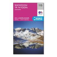
Ordnance Survey Landranger 115 Snowdon & Caernarfon Map With Digital Version, Orange: The OS Landranger Map is the ideal map for planning the perfect day out. This best known national map series provides...
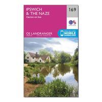
Ordnance Survey Landranger 169 Ipswich, The Naze & Clacton-on-sea Map With Digital Version, Orange: The OS Landranger Map is the ideal map for planning the perfect day out. This best known national map series provides...
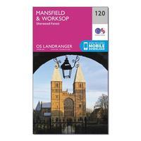
Ordnance Survey Landranger 120 Mansfield & Worksop, Sherwood Forest Map With Digital Version, Orange: The OS Landranger Map is the ideal map for planning the perfect day out. This best known national map series provides...
